Start From the Plan Your Site Team Already Uses
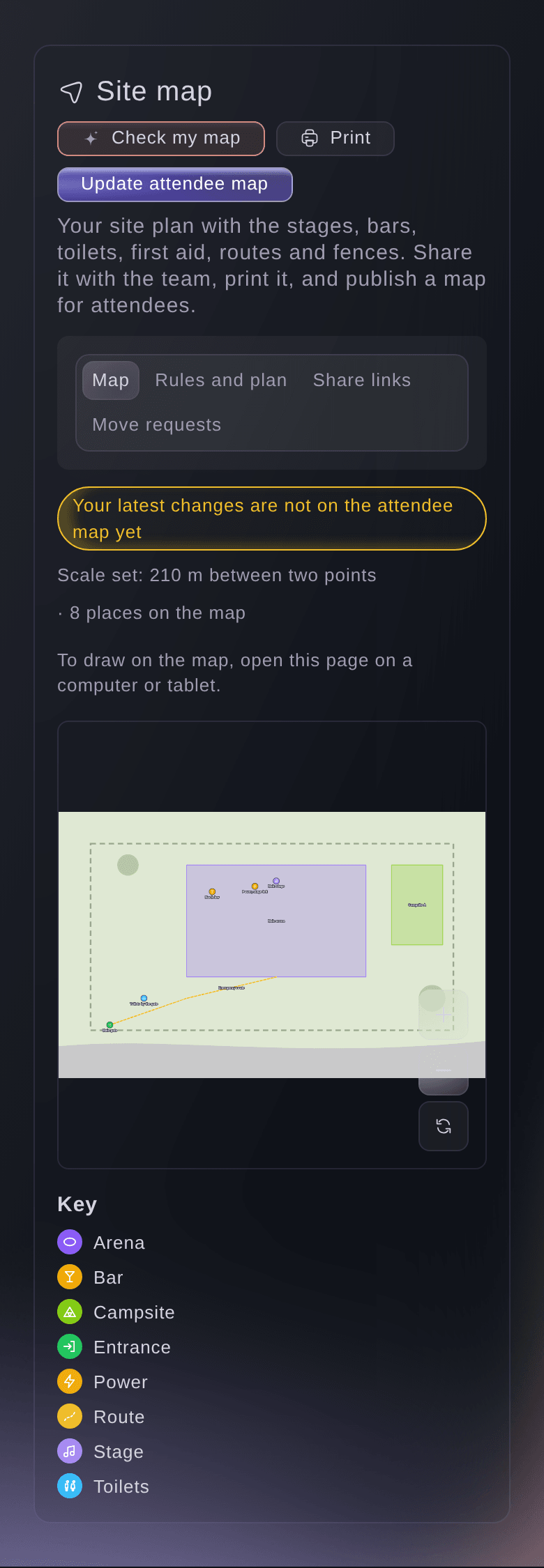
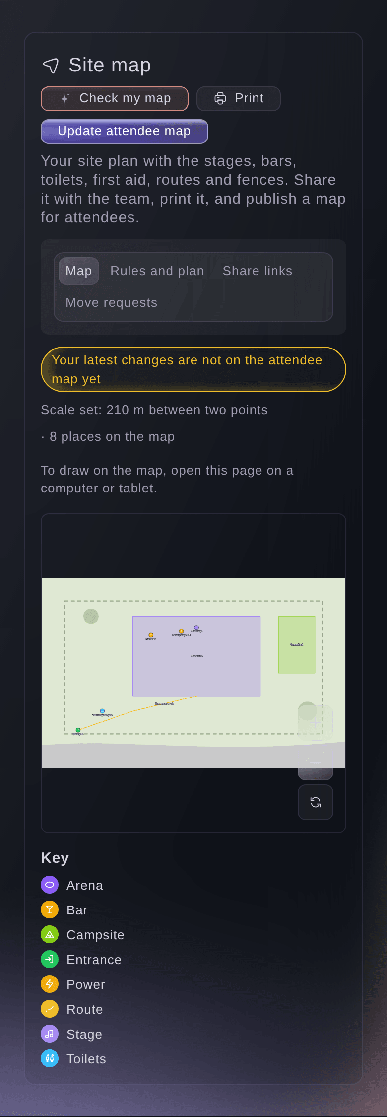
Upload the site plan your team already works from as an image and draw straight on it. Mark two points you know the distance between, enter it in metres, and every place on the map shows its real size, from the length of a fence line to the area of a campsite. You plan the field you actually have, and nobody measures a pitch twice.
Put a street map or a satellite photo of your venue under the plan, line it up once, and your team draws on the real ground. The map underneath also gives you a quick way to set the scale, or to check the scale you set by hand, so pitch sizes and walking distances are in real metres. Choose how strongly the map shows, so your own drawing stays easy to read.
When the plan changes, upload the new version and everything you drew stays where it was. You keep months of work on the map through every revision of the drawing.
- Your own plan: the drawing your site team already uses
- Set the scale: lengths and areas in real metres
- Map underneath: a street map or satellite photo under your plan