

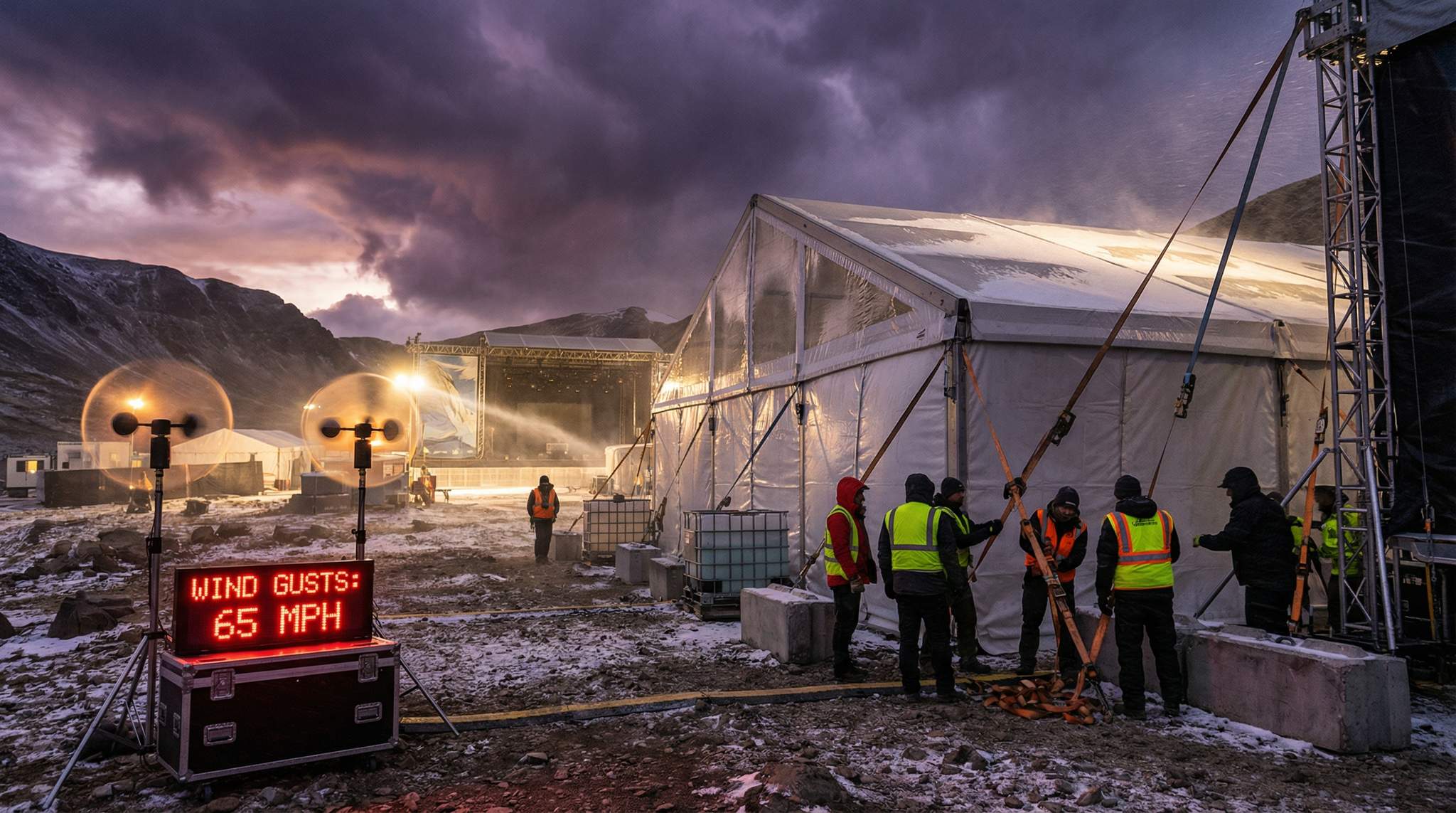
Weathering the Storm: How to Build Temporary Festival Structures for High Winds and Snow
Learn how to build and secure temporary event infrastructure and festival structures for high winds and snow. Expert B2B guide for event organizers.
Learn how to build and secure temporary event infrastructure and festival structures for high winds and snow. Expert B2B guide for event organizers.
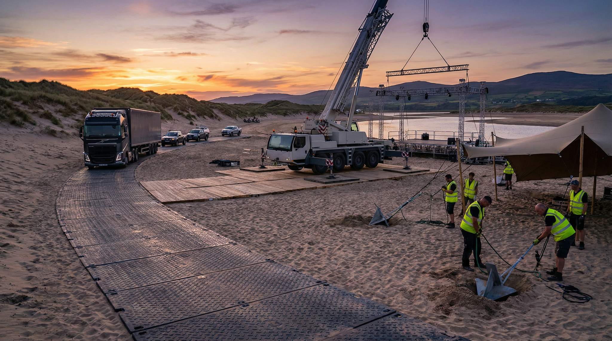
Expert guide for festival organizers on using track mats, crane pads, and sand anchors. Learn how to deploy bog mats for events and secure heavy structures.
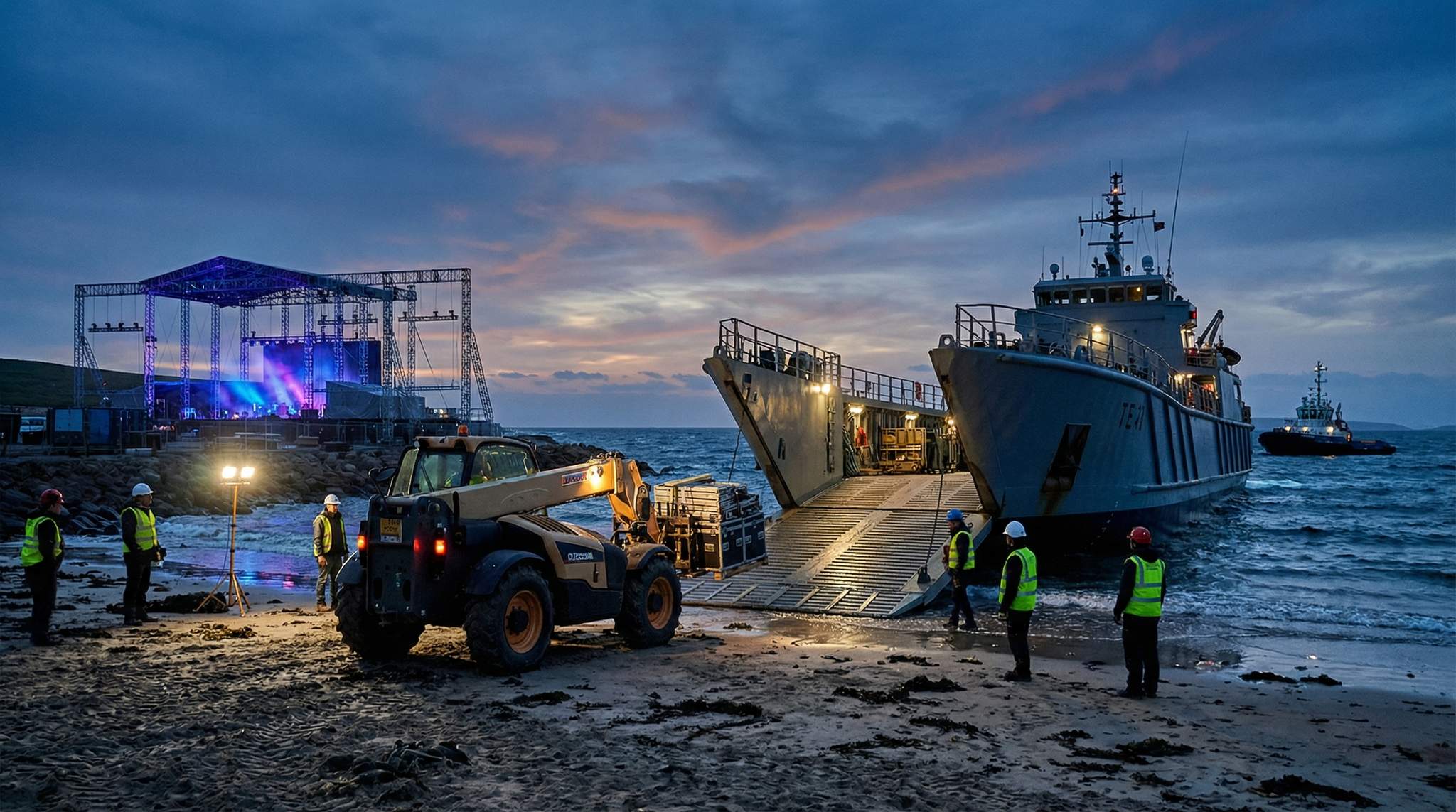
Master sea and river logistics for remote festivals. Learn to time tidal windows, deploy barges & landing craft, and offload gear without losing days to surf.
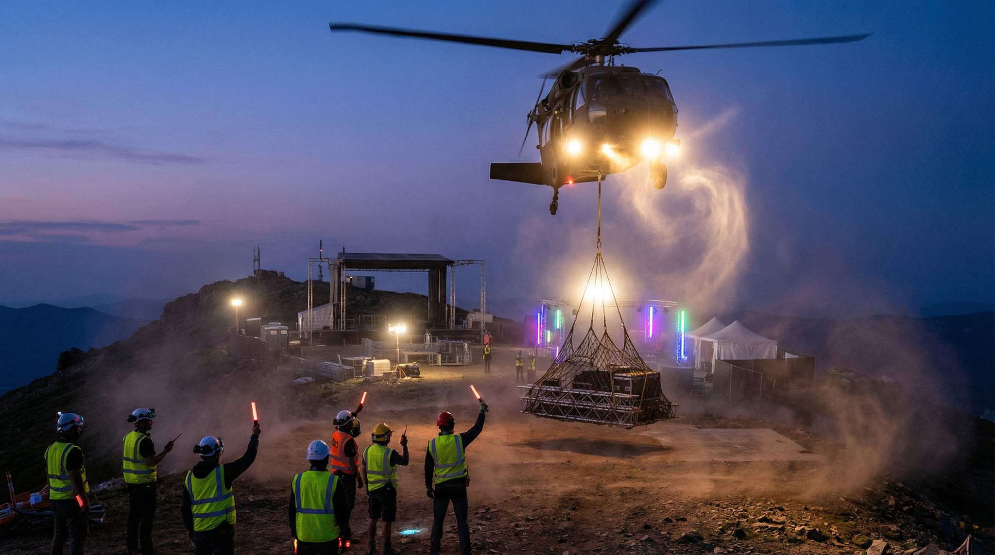
Master remote festival logistics with our B2B guide on helicopter ops. Learn load calculations, sling load equipment, and landing area requirements.
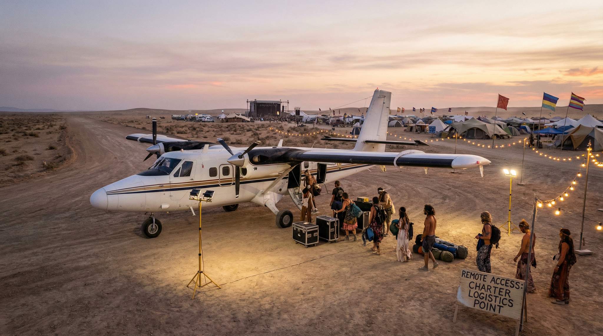
Veteran producers reveal how makeshift runways, STOL planes, and careful planning fly people & gear into remote festivals when roads fail. Get practical tips on weight & balance, charter scheduling, on-site refueling, and more.

Learn veteran producers’ secrets to safely moving convoys down remote dirt roads – covering load limits, dust, and weather delays – so everything arrives without a hitch.
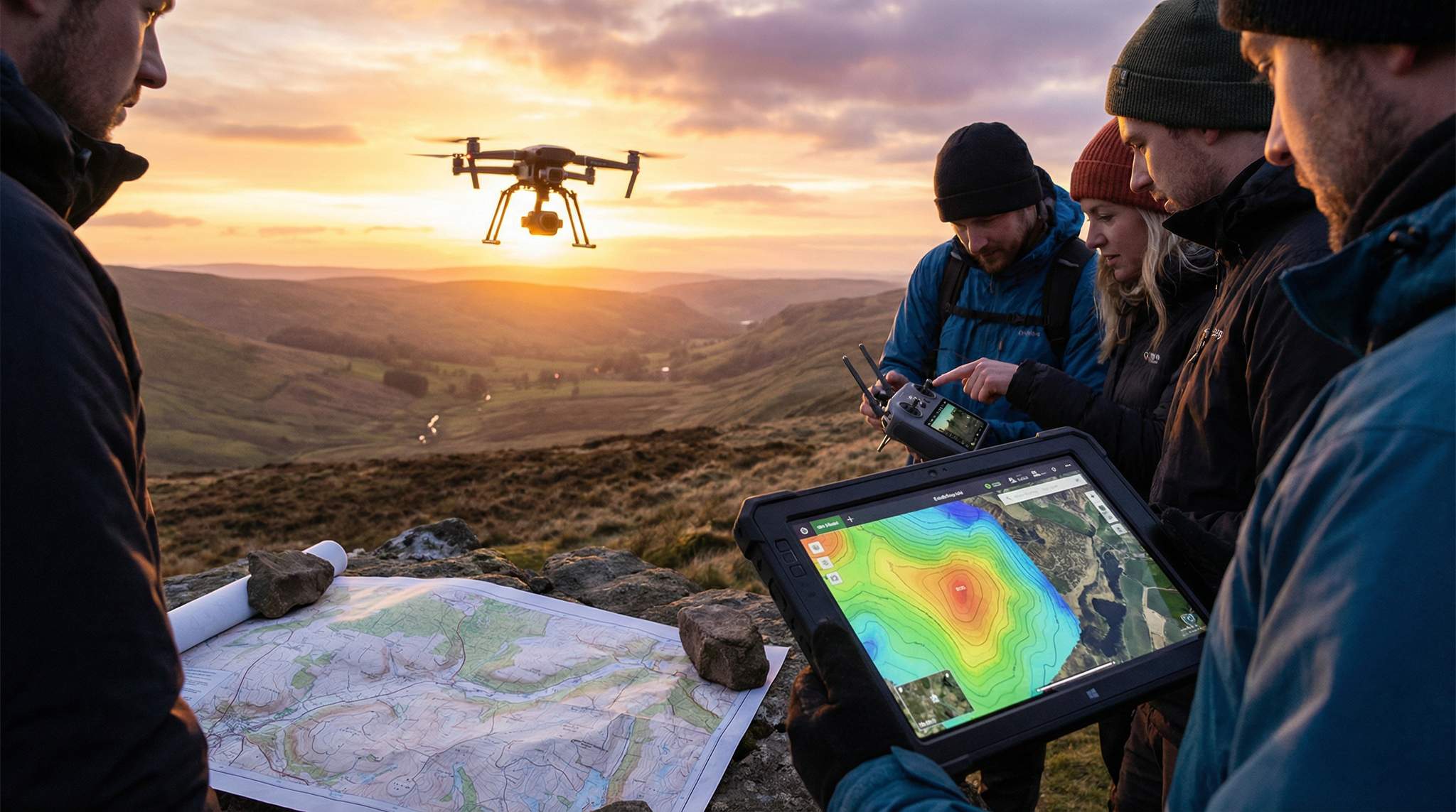
From drones and satellite imagery to boots-on-the-ground scouting – discover how veteran festival producers pick the perfect remote site. Learn to blend GIS mapping with real-world reconnaissance to find flat, wind-sheltered, safe terrain and create a geospatial game plan for everything from stages to sanitation. This comprehensive guide turns a beautiful location into a viable festival paradise.
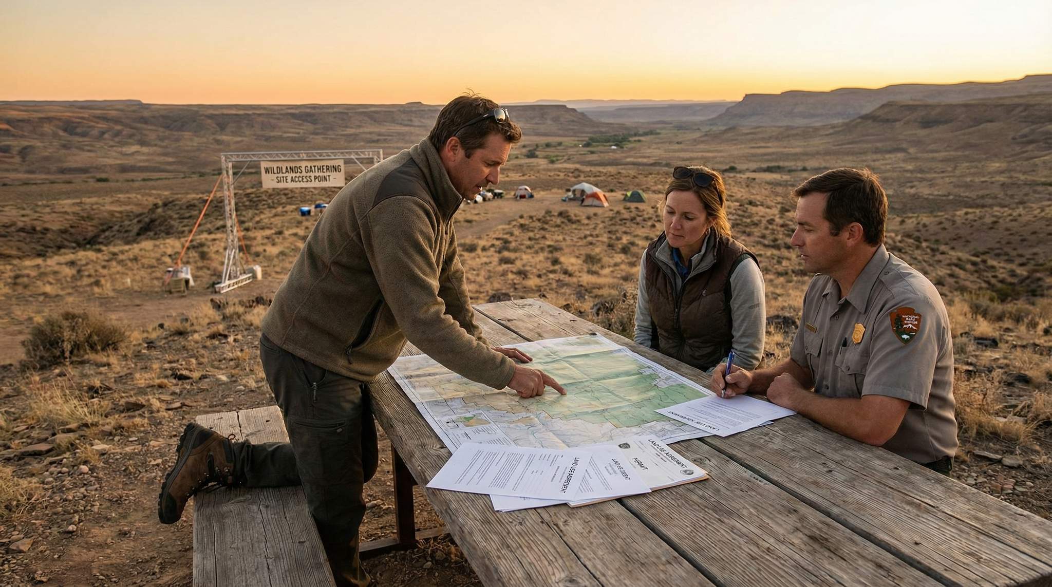
Hosting a festival in remote wildlands? Don’t get lost in red tape. Learn how to secure leases, easements, and permits, and see which agencies control roads and waterways—so every aspect of your off-grid event is legal and hassle-free.
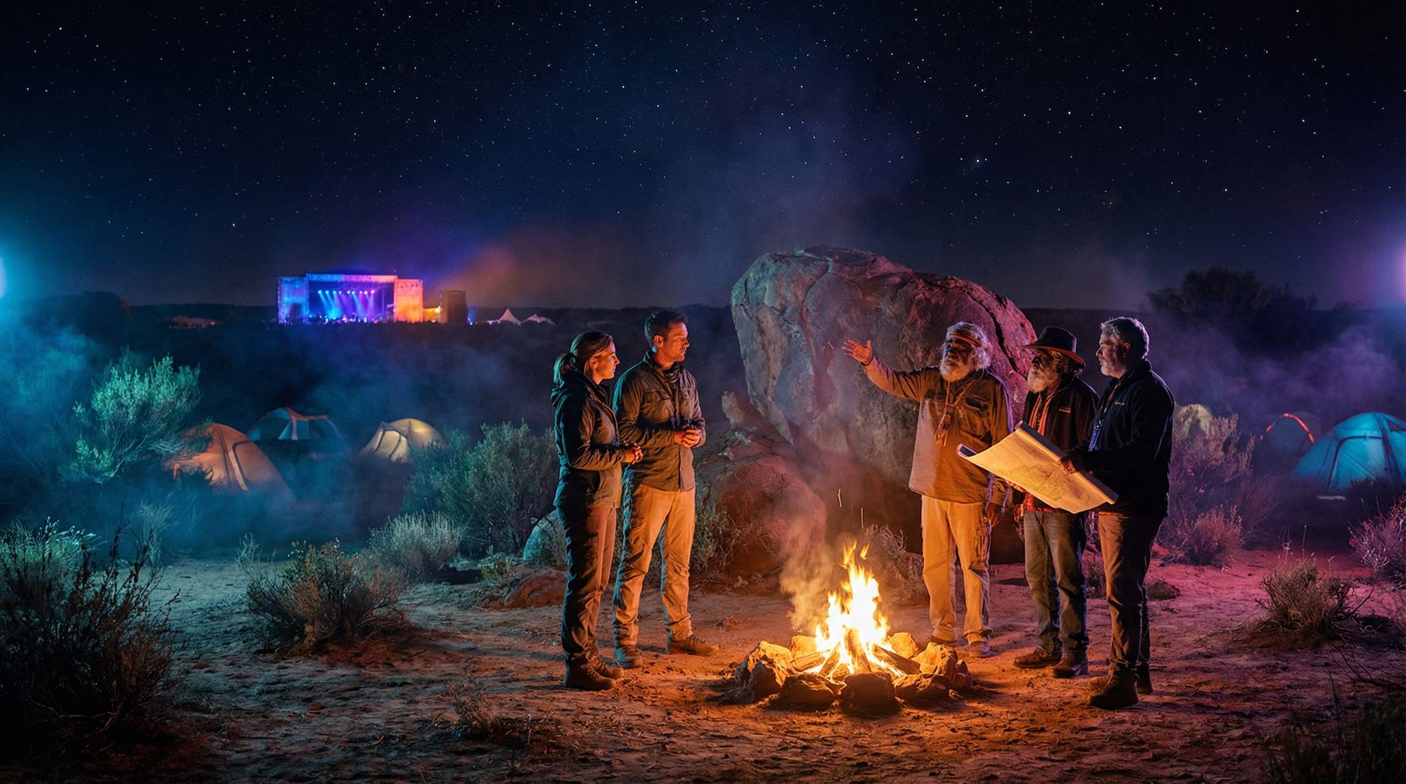
Respectful festival production on remote land starts with permission. Discover how to engage Indigenous Traditional Owners, share benefits, and honor cultural protocols to build long-term trust.
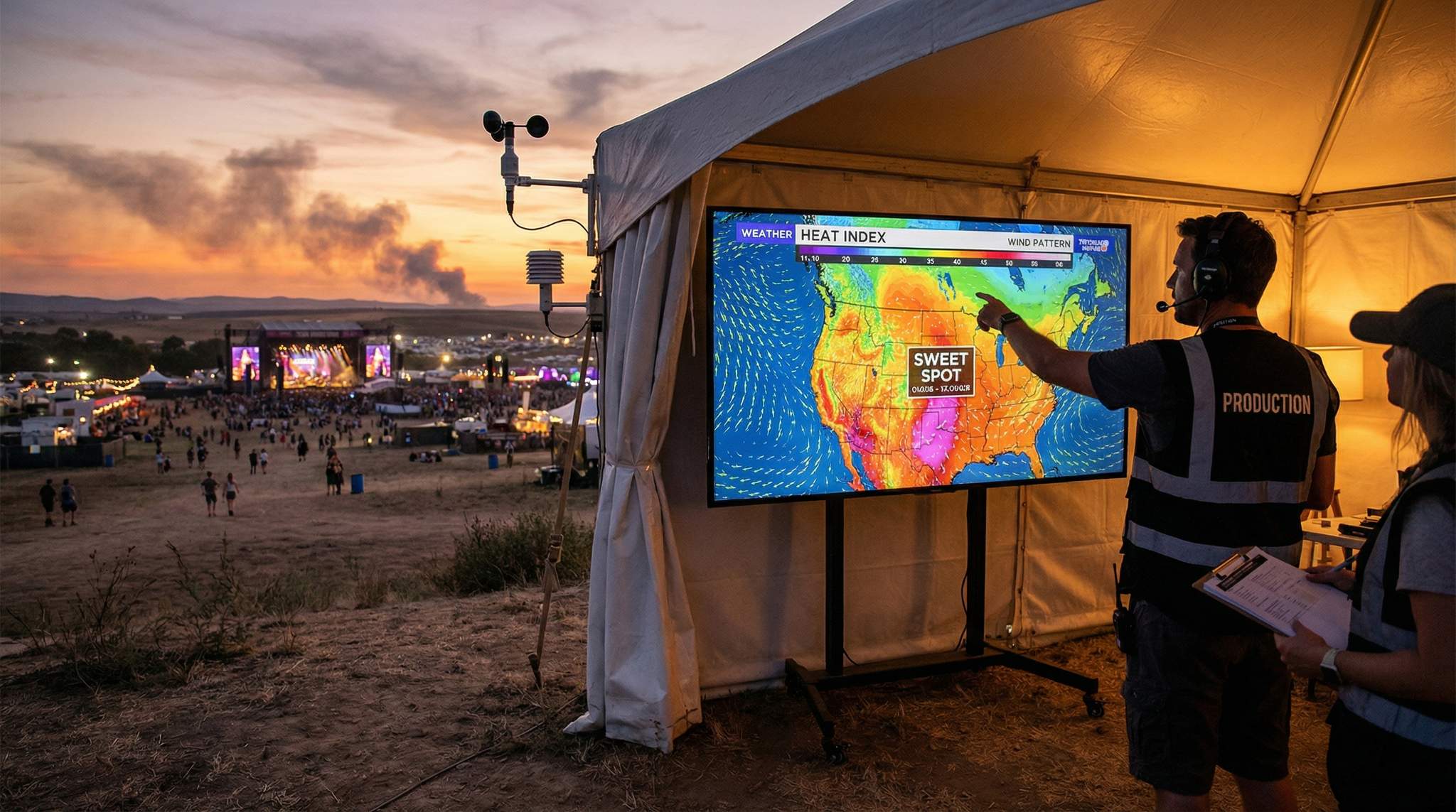
Ready to throw a remote festival under open skies? This guide reveals pro tips to decode heat indices, wind patterns, storm cycles, and daylight hours to choose the perfect dates. Align your event with sunrise and starry nights, and craft foolproof weather plans for a festival that’s safe, comfortable, and unforgettable.

Learn to use stunning locations, starry skies, and immersive programming to craft a remote festival so special that fans will travel far to attend.
